The Greenwood area by I-65 Exit 22 is zoned for Greenwood High and Drakes Creek Middle. ZIP 42104's typical home value was $320,504 in September 2026.
Last checked Oct. 16, 2026. Sources: OpenStreetMap, the City-County Planning Commission’s Scottsville Road Corridor Study (270-842-1953), the city’s school zone map, the Warren County Public Schools zone lookup, the Kentucky School Report Card, the Zillow Home Value Index and Bowling Green Parks & Recreation.
The Greenwood area is Bowling Green’s main shopping district and the homes and apartments around it: Greenwood Mall, the stores along Scottsville Road (U.S. 231) and the streets off Cave Mill Road, Shive Lane and Ken Bale Boulevard near I-65 Exit 22. OpenStreetMap places the name Greenwood near Ken Bale Boulevard. The whole area is in Warren County Public Schools, not the city district.
What this means for you
- Schools: Warren County Public Schools: Greenwood High School and Drakes Creek Middle for the whole area; the elementary school depends on the street.
- Home value: Zillow’s typical value was $320,504 in ZIP code 42104 and $359,849 in 42103 in September 2026.
- Interstate: Exit 22 (U.S. 231, Scottsville Road) is less than half a mile away.
Where it is
OpenStreetMap places Greenwood near Ken Bale Boulevard, just north of I-65. Greenwood Mall is at 2625 Scottsville Road. Main roads within about half a mile: Scottsville Road (U.S. 231), Cave Mill Road, Shive Lane, Ken Bale Boulevard, Three Springs Road (KY 884), Cumberland Trace Road (KY 2158) and Old Scottsville Road (KY 2629).
South of the interstate, the City-County Planning Commission’s Scottsville Road Corridor Study covers Scottsville Road from its interchange with I-65 south toward Alvaton Road. The commission made the corridor its top study priority in 2015, citing the extension of the William H. Natcher Parkway and new sanitary sewer in the area.
Every point we checked around the Greenwood name was inside the city limits. The area straddles two ZIP codes: 42104 on the west side and 42103 on the east, according to the Census Bureau’s ZIP code areas.
Schools
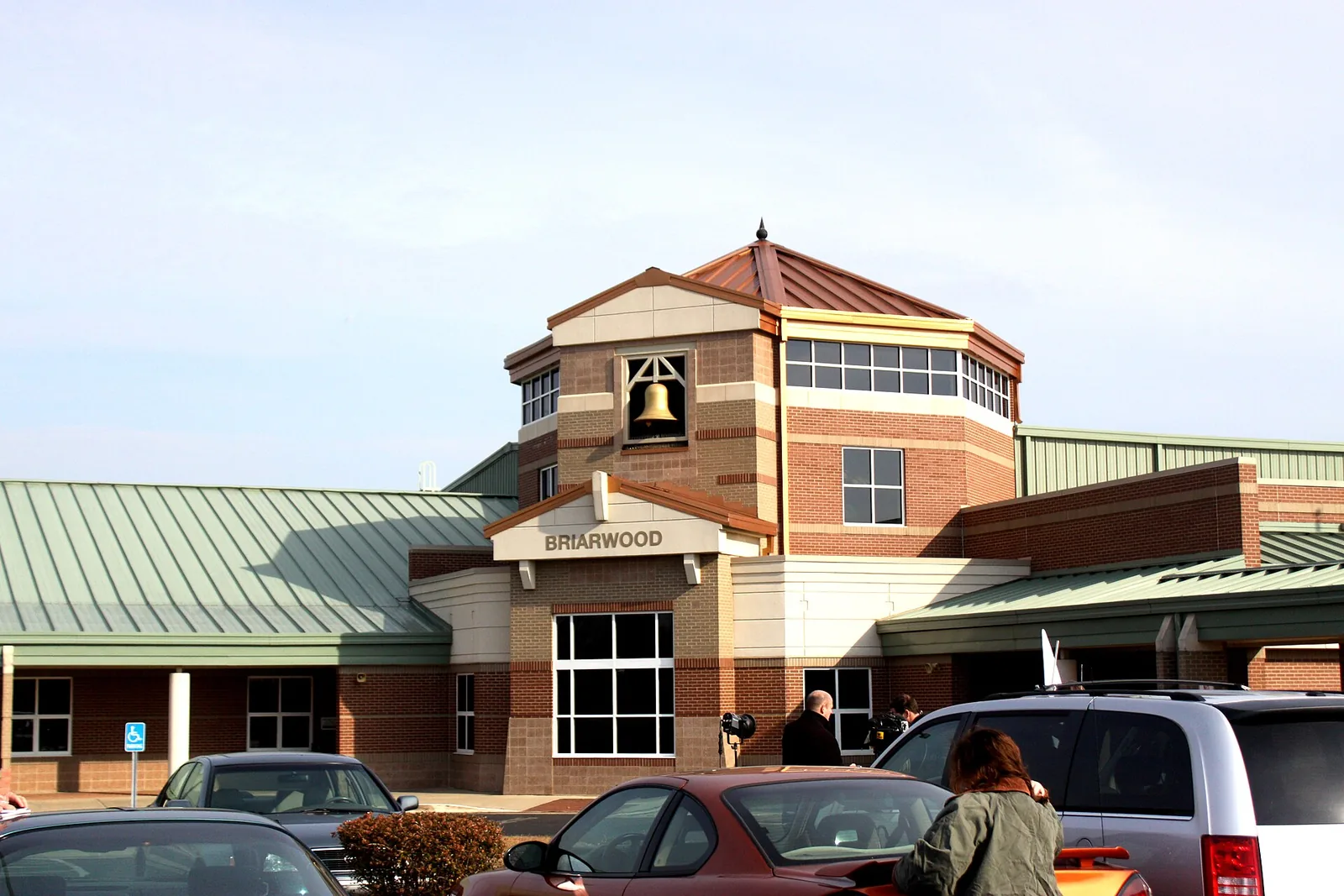
On the Warren County zone maps the City of Bowling Green publishes, the whole area is zoned for Greenwood High School and Drakes Creek Middle School. The elementary zone changes: the north part is zoned for Briarwood Elementary, and streets closer to the interstate are split among the Cumberland Trace, William H. Natcher and Alvaton elementary zones. Check your address.
| School | Grades | 2024-25 rating |
|---|---|---|
| Briarwood Elementary, 265 Lovers Lane | Preschool-6 | Green (high) |
| Cumberland Trace Elementary, 2464 Cumberland Trace Road | Preschool-6 | Green (high) |
| William H. Natcher Elementary, 1434 Cave Mill Road | Preschool-6 | Green (high) |
| Alvaton Elementary, 6350 Old Scottsville Road | Preschool-6 | Blue (very high) |
| Drakes Creek Middle, 704 Cypress Wood Lane | 7-8 | Blue (very high) |
| Greenwood High, 5065 Scottsville Road | 9-12 | Green (high) |
Addresses and grades are from the federal NCES school directory; ratings are the overall color in the Kentucky Department of Education’s 2024-25 accountability file, from red (lowest) to blue (highest). Use the Warren County lookup or call 270-781-5150. More in our schools guide and Friday night football.
Home values
In September 2026, according to the Zillow Home Value Index (Zillow Research):
| ZIP code | Typical value | Change from September 2025 |
|---|---|---|
| 42104 (west side) | $320,504 | Down 0.3% |
| 42103 (east side) | $359,849 | Up 2.2% |
| Bowling Green (city) | $280,339 | Up 0.1% |
The index is a modeled typical value for the middle third of homes across each ZIP code, not a sale price. More in home prices.
Parks
- Crossings Neighborhood Park, 2507 Crossings Blvd., 3.2 acres, about three-quarters of a mile away on the map.
- H.P. Thomas Park, 850 Cave Mill Road, 17.5 acres, with the Hills Bark Park dog park, about 2.5 miles away.
More in parks and trails and dog-friendly Bowling Green.
Getting around
- I-65: Exit 22 (U.S. 231, Scottsville Road) is less than half a mile away as the crow flies (exit numbers and routes from OpenStreetMap).
- Downtown: Fountain Square is about 4.2 miles away by road, measured on the OpenStreetMap road network.
- Nashville International Airport in Nashville, Tennessee, is about 69 miles away by road. That is a distance, not a drive time.
- Buses: GoBG Transit’s route map lists stops at Greenwood Mall’s northwest entrance, on Scottsville Road at Kroger and on Cave Mill Road at Cave Mill Station Boulevard. Call 270-393-3695, or see getting around.
Groceries and everyday stores
From OpenStreetMap:
- Kroger, 2945 Scottsville Road.
- Walgreens, Shive Lane.
- Greenwood Mall, 2625 Scottsville Road.
- Walmart Supercenter, 150 Walton Ave., about 1 mile away.
Holiday shopping hours are in our Black Friday and holiday shopping guide.
More neighborhoods
Greenwood is one of the areas in our Bowling Green neighborhoods guide. Also on the east side: Briarwood.
Map data © OpenStreetMap contributors.
Frequently asked questions
What high school serves the Greenwood Mall area of Bowling Green?
Every point we checked around Greenwood Mall and Scottsville Road near I-65 is zoned for Greenwood High School and Drakes Creek Middle School, both in Warren County Public Schools. Greenwood High was rated green (high) and Drakes Creek blue (very high) for 2024-25.
What ZIP codes cover the Greenwood area of Bowling Green?
Two: 42104 on the west side and 42103 on the east side of the area around Greenwood Mall and Scottsville Road, according to the Census Bureau’s ZIP code areas.
What is the typical home value near Greenwood Mall?
Zillow’s Home Value Index was $320,504 for ZIP code 42104 and $359,849 for 42103 in September 2026. Those are modeled typical values for the whole ZIP codes, not sale prices.
What is the closest I-65 exit to Greenwood Mall?
Exit 22, where I-65 meets U.S. 231 (Scottsville Road), is less than half a mile from the area on the map, according to OpenStreetMap.
Have your say