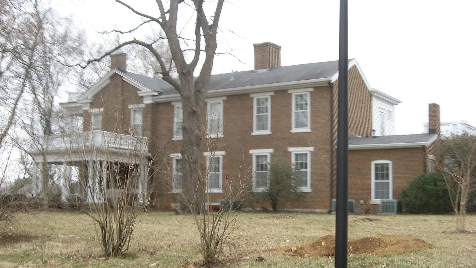
Briarwood, off Cemetery Road in ZIP code 42103, is split between Potter Gray and Warren County's Briarwood Elementary zones. Typical value: $359,849.
Last checked Oct. 16, 2026. Sources: OpenStreetMap, the city’s neighborhood groups list and school zone map, the Warren County Public Schools zone lookup, the Kentucky School Report Card, the Zillow Home Value Index and Bowling Green Parks & Recreation.
Briarwood is a residential area on Bowling Green’s east side, between Fairview Avenue and Cemetery Road, about 2.4 miles from downtown by road. The city’s neighborhood groups list includes three groups here: the Briarwood Improvement Group, the Briarwood-Mooreland Drive Area group (which runs a Halloween trick-or-treat event it calls Pumpkin Alley) and the Spruce Trail/Court group. The area is inside the city limits, but the school district changes within a few blocks.
What this means for you
- Schools: the middle of the area is zoned for Potter Gray Elementary and Bowling Green High School; the east and north sides for Briarwood Elementary and Greenwood High School (Warren County Public Schools).
- Home value: Zillow’s typical value in ZIP code 42103 was $359,849 in September 2026.
- Interstate: the nearest I-65 interchange is Exit 26 (KY 234, Cemetery Road), about 1.3 miles east on the map.
Where it is
OpenStreetMap places the name Briarwood Manor near Spruce Trail. The main roads within about half a mile are Fairview Avenue and Cemetery Road, which together carry KY 234 from downtown to I-65. No city plan draws a boundary for Briarwood, so treat the name as a general area. Every point we checked around it is in ZIP code 42103 (Census Bureau ZIP code areas) and inside the city limits.
Inside the city but in the county school district is what the city calls the Annex on its tax rate table. Your tax bill shows which school tax you pay; see property taxes.
Schools
On the zone maps the City of Bowling Green publishes, a strip through the middle and west of the area, around Spruce Trail, is in Bowling Green Independent Schools. The east and north sides are in Warren County Public Schools. The two districts’ Briarwood and Potter Gray schools are different buildings in different systems, so check your address.
| School | District | Grades | 2024-25 rating |
|---|---|---|---|
| Potter Gray Elementary | Bowling Green Independent | K-5 | Green (high) |
| Bowling Green Junior High | Bowling Green Independent | 6-8 | Green (high) |
| Bowling Green High | Bowling Green Independent | 9-12 | Green (high) |
| Briarwood Elementary, 265 Lovers Lane | Warren County | Preschool-6 | Green (high) |
| Drakes Creek Middle, 704 Cypress Wood Lane | Warren County | 7-8 | Blue (very high) |
| Greenwood High, 5065 Scottsville Road | Warren County | 9-12 | Green (high) |
Grades are from the federal NCES school directory; ratings are the overall color in the Kentucky Department of Education’s 2024-25 accountability file, from red (lowest) to blue (highest). Check an address with the Warren County lookup (270-781-5150) or Bowling Green Independent (270-746-2200). More in our schools guide.
Home values
Zillow’s Home Value Index for ZIP code 42103 was $359,849 in September 2026, up 2.2% from $352,213 in September 2025, according to the Zillow Home Value Index (Zillow Research). The citywide figure was $280,339. The index is a modeled typical value for the middle third of homes across the ZIP code, which reaches well beyond Briarwood; it is not a sale price. More in home prices.
Parks
- Spero Kereiakes Park, 1220 Fairview Ave., 47.8 acres, with a 1.25-mile trail, 10 tennis courts, disc golf and ball fields, about two-thirds of a mile away on the map.
- Lovers Lane Soccer Complex, 385 Lovers Lane, 78.2 acres, about a mile away.
More in parks and trails.
Getting around
- Downtown: Fountain Square is about 2.4 miles away by road, measured on the OpenStreetMap road network.
- I-65: Exit 26 (KY 234, Cemetery Road) is about 1.3 miles east as the crow flies (exit numbers and routes from OpenStreetMap).
- Nashville International Airport in Nashville, Tennessee, is about 73 miles away by road. That is a distance, not a drive time.
- Buses: GoBG Transit’s route map lists stops on Fairview Avenue, including Fairview Plaza, and on Lehman Avenue at Josephine Street. Call 270-393-3695, or see getting around.
Groceries and everyday stores
From OpenStreetMap:
- IGA, 2560 Mount Victor Lane, about 1 mile away.
- Kroger, with a pharmacy, 350 U.S. 31-W Bypass, about 1 mile away.
More neighborhoods
Briarwood is one of the areas in our Bowling Green neighborhoods guide. Also on the south and east side: Greenwood and Scottsville Road.
Map data © OpenStreetMap contributors.
Frequently asked questions
Where is Briarwood in Bowling Green?
OpenStreetMap places Briarwood Manor on the city’s east side near Spruce Trail, between Fairview Avenue and Cemetery Road (both KY 234). It is in ZIP code 42103 and inside the city limits.
What schools serve the Briarwood area?
It is split. The middle of the area is in Bowling Green Independent’s Potter Gray Elementary zone, then Bowling Green Junior High and High. The east and north sides are in Warren County Public Schools: Briarwood Elementary, Drakes Creek Middle and Greenwood High.
What is the typical home value in Briarwood, Bowling Green?
Zillow’s Home Value Index for ZIP code 42103 was $359,849 in September 2026, up 2.2% from a year earlier. That is a modeled typical value, not a sale price.
What is the nearest I-65 exit to Briarwood?
Exit 26, where I-65 meets KY 234 (Cemetery Road), is about 1.3 miles east of the area on the map, according to OpenStreetMap.
Have your say