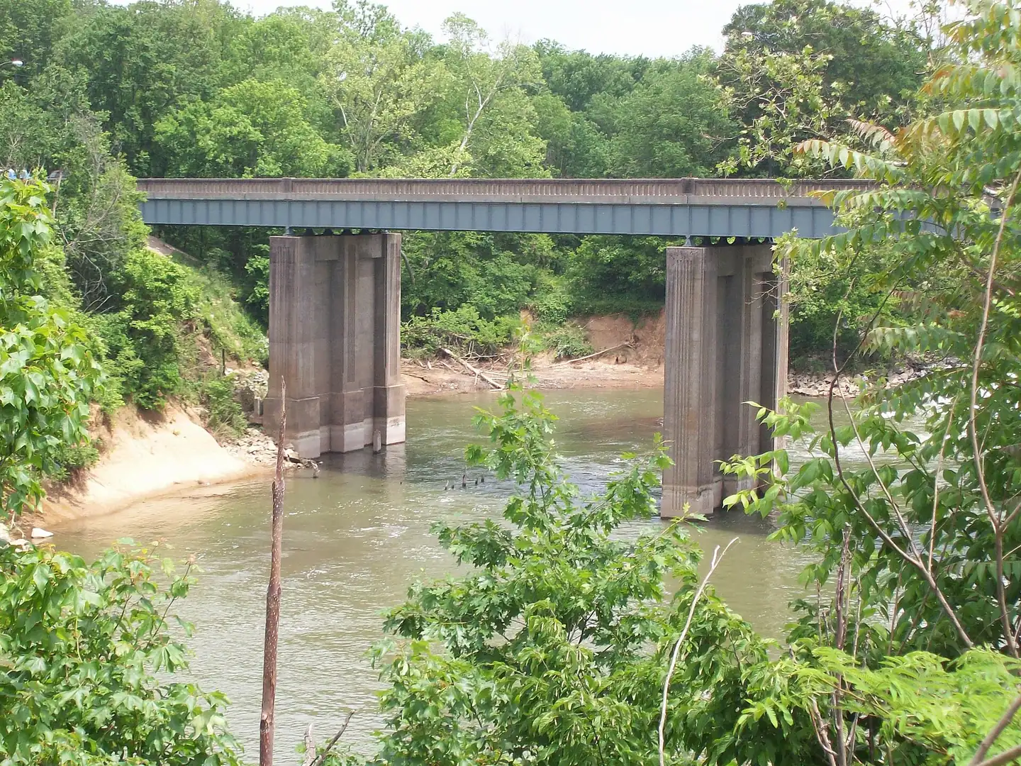
Bowling Green's BikeWalkBG greenways, park loops up to 3.35 miles, the Low Hollow mountain bike trail, Lost River Cave trails and free community rides.
Last checked Oct. 16, 2026. Facts come from BikeWalkBG at the City-County Planning Commission (270-842-1953), Bowling Green Parks and Recreation (270-393-3249) and Warren County Parks and Recreation’s walking trails map (PDF). Greenway maintenance: Public Works, 270-393-3363.
Bowling Green’s trails come in three kinds: the city’s paved BikeWalkBG greenways that link parks across town, park loops in city and county parks, and nature and mountain bike trails at Weldon Peete, Chuck Crume and Lost River Cave.
Maps and contacts
- BikeWalkBG greenways map (PDF) and the interactive greenways map
- Report a greenway, trail or sidewalk problem: BikeWalkBG’s maintenance request page, or Public Works, 270-393-3363
- Park hours: parks with lights are open sunrise to 11 p.m.; others close at dusk.
The greenways
The BikeWalkBG greenway trails run through Hobson Grove, James Hines, Kereiakes, Preston Miller, Roland Bland and Weldon Peete parks, the Lovers Lane Soccer Complex and the Riverwalk at Mitch McConnell Park, according to Bowling Green Parks and Recreation. The 2025 greenways map marks trailheads, paved greenways, future greenways and unpaved multi-use trails.
Good places to start:
- The Riverwalk, Mitch McConnell Park, 426 E. Riverview Drive: along the Barren River to the 1915 College Street pedestrian bridge.
- Kereiakes Park, 1220 Fairview Ave.: a 1.25-mile trail.
- Preston Miller Park, 2303 Tomblinson Way: a 1-mile trail next to the Russell Sims Aquatic Center.
- Jennings Creek Nature Park and Playscape, 2617 Russellville Road, along the Creekwood Greenway.
New greenway pieces are under construction along Highland Way, from Nashville Road to Smallhouse Road, and along Smallhouse Road from Campbell Lane to Thimblefinger Way; see our road construction page.
Park loops: Warren County parks
Warren County Parks and Recreation’s walking trails map lists these loops; all are rated easy. Distances are from the county’s map, last updated in 2019:
| Park | Trail | Distance | Marking |
|---|---|---|---|
| Ephram White Park, 885 Mount Olivet Road | Red Trail | 3.35 miles | Along gravel path |
| Ephram White Park | Yellow Trail | 2.25 miles | Along gravel path |
| Phil Moore Park, 7101 Scottsville Road | Yellow Trail | 3.25 miles | Check map |
| Phil Moore Park | Red Trail | 2 miles | Check map |
| Basil Griffin Park, 2055 Three Springs Road | Red Trail | 3 miles | Red posts |
| Basil Griffin Park | Orange Trail | 0.6 mile | Orange and red posts |
| Basil Griffin Park | Yellow Trail | 0.47 mile | Yellow and red posts |
| Buchanon Park, 9222 Nashville Road | Red Trail | 2.4 miles | Check map |
| Buchanon Park | Yellow Trail | 0.72 mile | Check map |
| Freeman Park | Red Trail | 0.5 mile | Along gravel path |
| Ed Spear Park, 226 Sunset Ave. | Red Trail | 0.45 mile | Along gravel path |
Warren County parks: 270-842-5302.
Nature trails and mountain biking
- Low Hollow Trail, Weldon Peete Park, Old Louisville Road: mountain biking, with boat ramps and a greenway in the same park. The city is adding a public bike repair station there for mountain bikers and trail users (city announcement).
- Mitch McConnell Park: mountain biking trails as well as the Riverwalk.
- Chuck Crume Nature Park, 2035 Nashville Road: a 20-acre wooded park with a nature trail, off the U.S. 31-W Bypass behind the Unitarian Universalist Church.
- Lost River Cave, 2818 Nashville Road: walking trails through the valley and the paved Greenway Trail above it along a prairie restoration site, for walkers, runners and strollers (Lost River Cave).
Riding in town
- Bike repair station: College Street, by the bike lane in front of Spencer’s Coffee.
- Free community rides: BikeWalkBG’s October Night Ride meets at Mellow Mushroom, 1035 Chestnut St., at 5:45 p.m. and rolls out at 6 p.m. Monday, Oct. 26; it covers about 10 miles on greenways and through cemeteries. Wear reflective clothing and bring lights (details).
- Longer routes: the planning commission links Cave Country Trails and draft maps for U.S. Bicycle Route 23 through Kentucky.
Related guides
Frequently asked questions
Where can I walk or bike in Bowling Green?
The city’s BikeWalkBG greenways run through Hobson Grove, James Hines, Kereiakes, Preston Miller, Roland Bland and Weldon Peete parks, the Lovers Lane Soccer Complex and the Riverwalk at Mitch McConnell Park. The planning commission publishes a greenways map and an interactive map.
What is the longest walking trail in a Bowling Green-area park?
On Warren County Parks and Recreation’s trail map, the longest loop is Ephram White Park’s Red Trail at 3.35 miles, followed by Phil Moore Park’s Yellow Trail at 3.25 miles and Basil Griffin Park’s Red Trail at 3 miles.
Is there mountain biking in Bowling Green?
Yes. The Low Hollow mountain bike trail is at Weldon Peete Park on Old Louisville Road, and Mitch McConnell Park also has mountain biking. The city is adding a bike repair station at Weldon Peete Park.
Are there group bike rides in Bowling Green?
BikeWalkBG holds free community rides. The October 2026 Night Ride, about 10 miles on greenways and through cemeteries, leaves Mellow Mushroom at 6 p.m. Monday, Oct. 26.
Can I walk my dog on Bowling Green trails?
Yes, on a leash no longer than 6 feet in city parks. Leashed pets are also welcome on the trails at Lost River Cave, but not on its boat tour.
Have your say